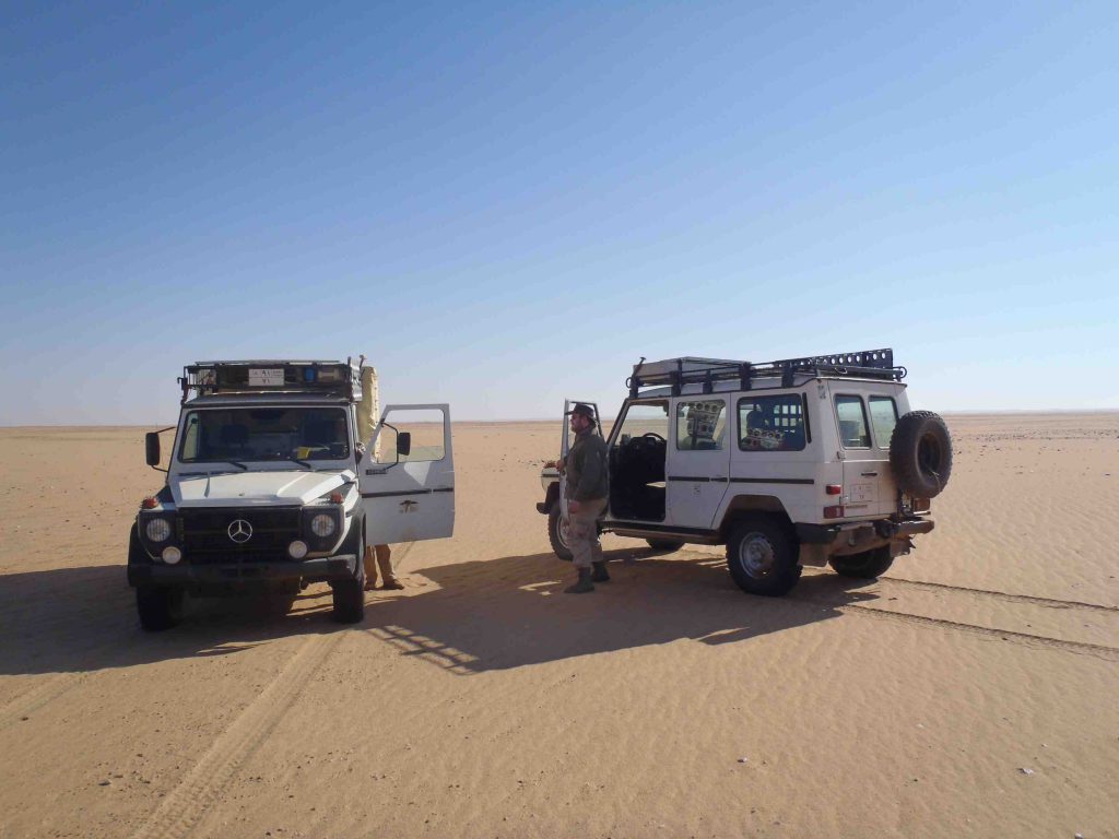
Reconnaissance trip 2011
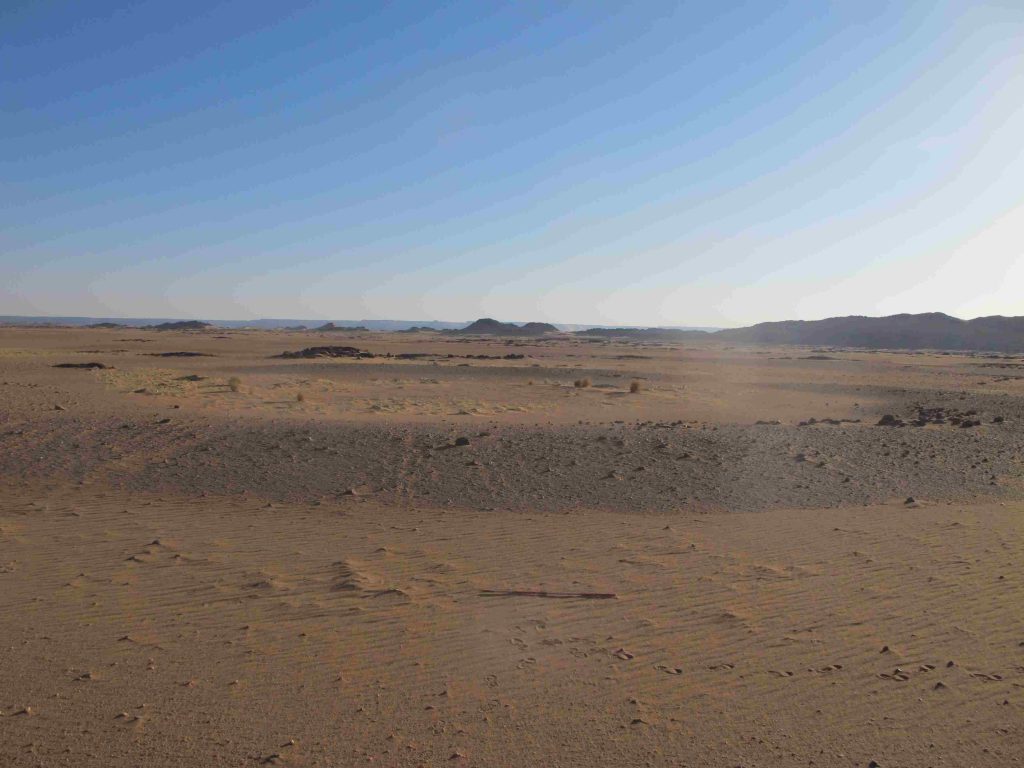
In 2011, during the field campaign of the excavations of the University of Cologne at Gala Abu Ahmed in Wadi Howar, a short reconnaissance trip was conducted towards the northeastern slope of the Jebel al-Ain.
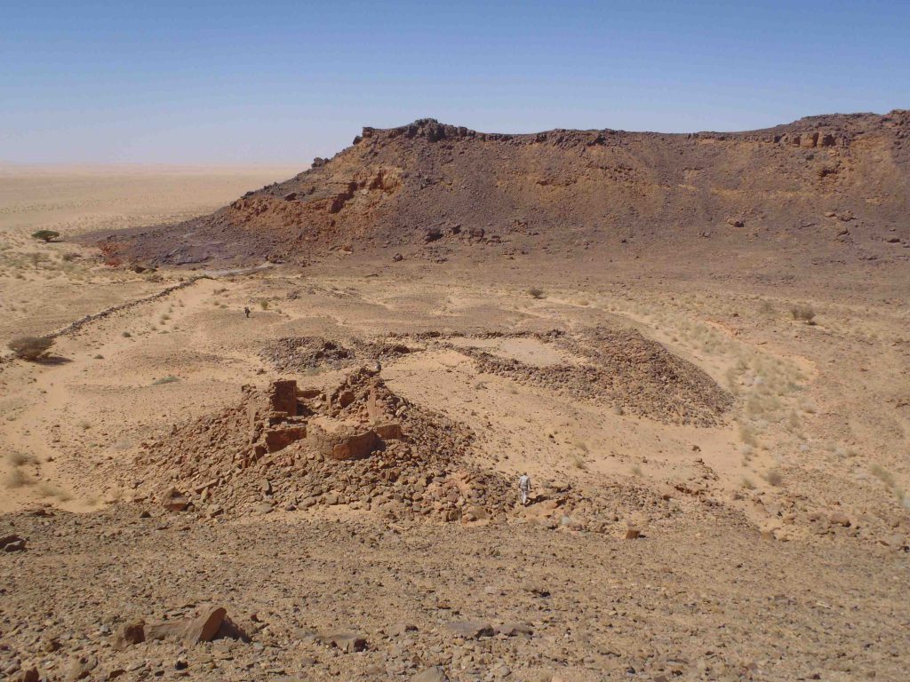
During this reconnaissance, a Christian complex (including a sandstone church and adjacent builings with a massive delimitation wall) was discovered. This lead to the assumption that the direct influence of Nubian Christianity reached far more into the remote western parts of the Sudan than estimated before.
Read the complete preliminary report
Preliminary campaign 2017
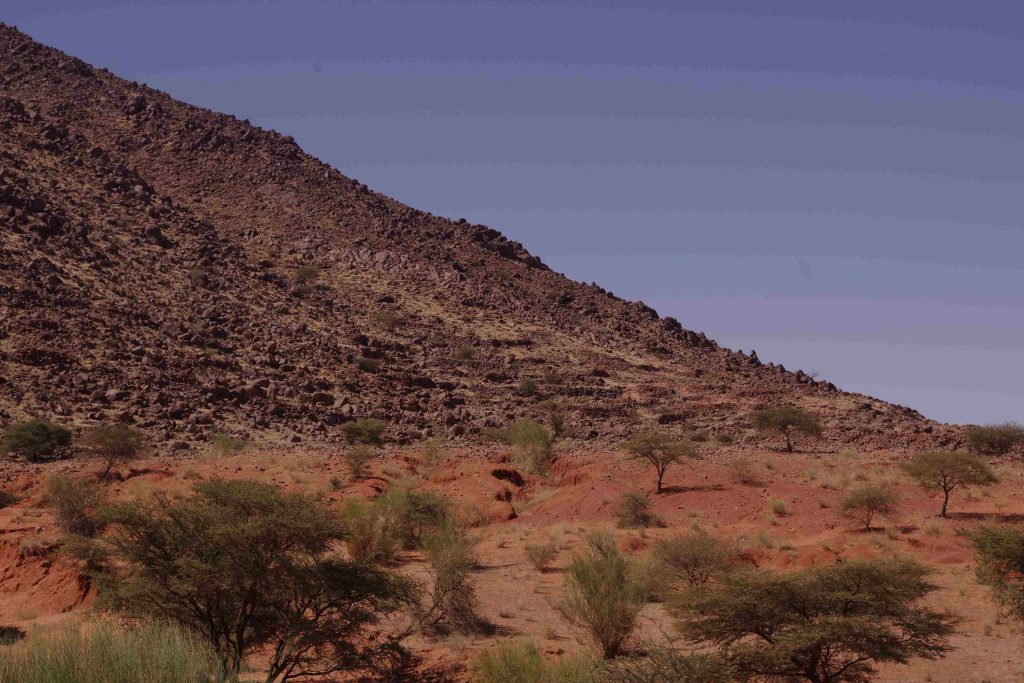
The preliminary campaign in 2017, funded by the Research Prize of the University of Muenster (awarded to Angelika Lohwasser in 2016), documented several settlement and funerary structures along the Wadi Melek and the Jebel al-Ain previously prospected by remote sensing. Among the investigated sites were the large settlement of Bir al-Ain and some ancient water harvesting installations (hafirs).
Field campaign 2018
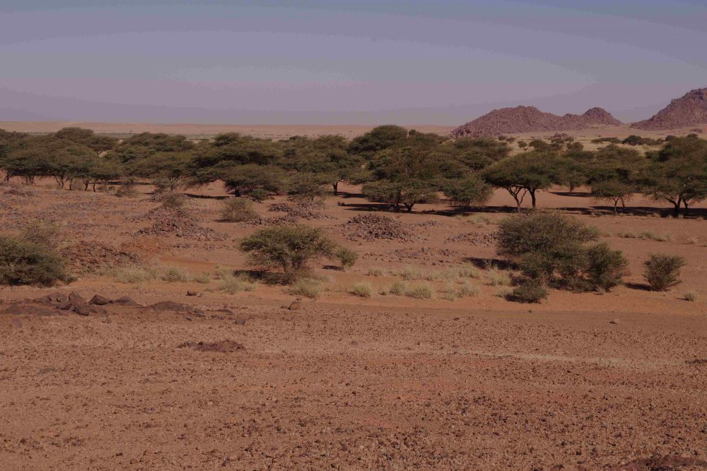
After inauguration of the German Research Foundation’s Priority Programme „Entangled Africa„, the first field campaign of the project was conducted in December 2018, focusing mainly on the Jebel Haraza and its vicinity.
At the Jebel Abu Hadid, the Jebel Haraza, and the Wadi Mahbaz, several funerary and settlement structures were documented (most of them previously recorded by remote sensing). The most important of them is a large settlement complex at Jebel Haraza, including habitation complexes, a large delimiting wall of a khor close by, agricultural terraces, and a large cemetery with graves of different types (tumuli, mastaba, and box graves).
Read the complete preliminary report
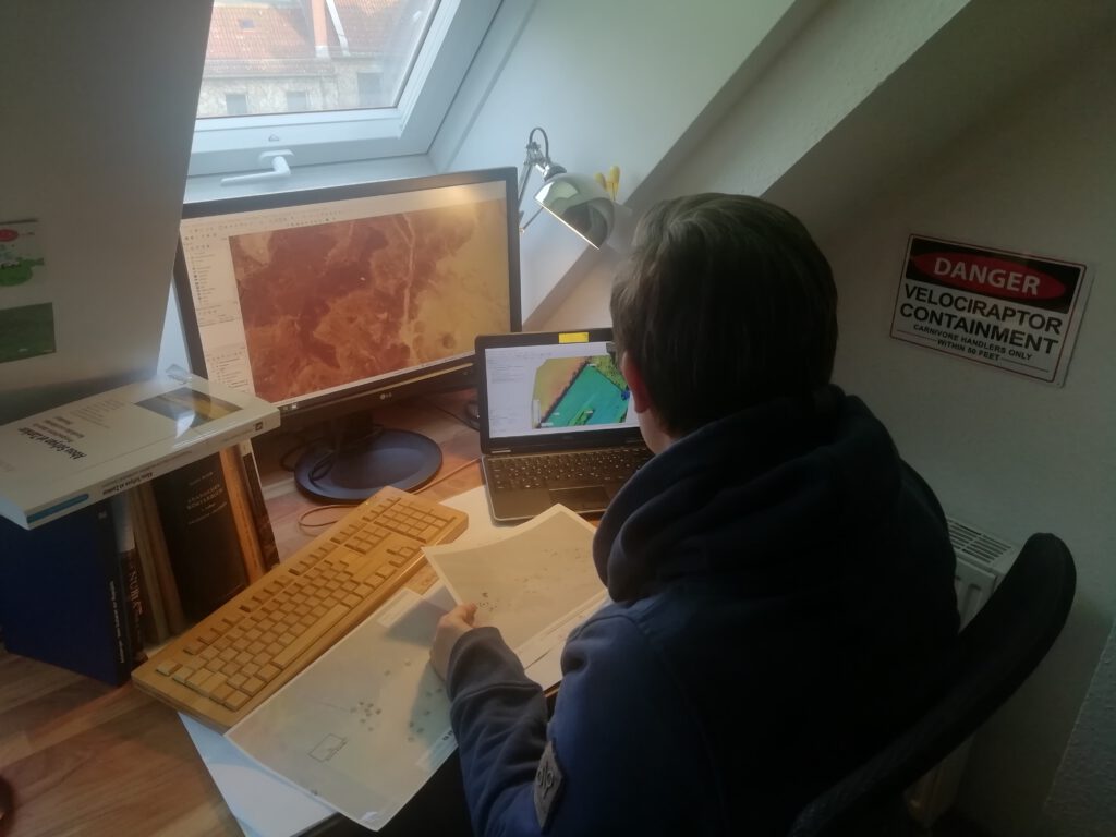
Remote data analysis 2020
During the COVID-19 pandemic, InterLINK (like many other research projects) was restricted to home office. The second regular field campaign, planned for spring 2020, had to be stopped while preparing to leave from Khartoum to the field.
Subsequently, durng the time of home office, comprehensive analysis of satellite data was conducted: Landsat 5-8 as well as Sentinel 2 multispectral imagery and Sentinel 1 radar data, contextualized with high-resolution digital elevation models (DEM) based on TanDEM-X data provided by the DLR was used to generate models of potential land use during different climatic circumstances, and to indentify historic (cultural and natural) landscape elements. This led to the discovery of several former ecologically favoured zones, including the mapping of paleo-lakes. In context with spatial distribution patterns of different categories of archaeological sites discovered during previous surveys on the ground as well as using satellite imagery, this revealed possible patterns of diachronic land use development, especially concerning interdependencies of agricultural and pastoral subsistence strategies.
Read the complete preliminary report